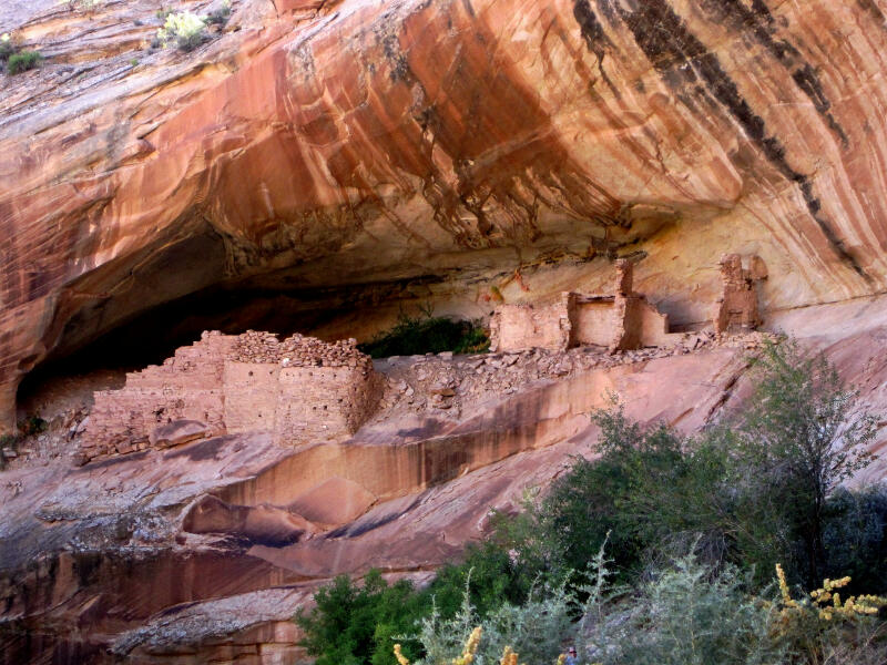
Monarch Cave is part of the "Circle of Friends" program. Members of the "Circle of Friends" have access to more specific information, explicit route information, GPS waypoints, trailhead location and detailed maps. If you would like more information on joining the "Circle of Friends" visit the sign up page. "Circle of Friends"
Monarch Cave Ruins require a short hike. Please take only pictures and leave only footprints. Monarch Cave is rated 1A I using the Canyon Rating System. A good route desription and a GPS are extremely useful in verifying you are on the correct course. The area is criss crossed with confusing roads and trails. Navigation for this route is moderate.
The trailhead is usually accessible to all vehicles in good weather. A vehicle shuttle is not required for this route.
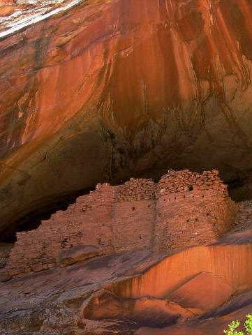
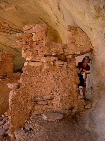
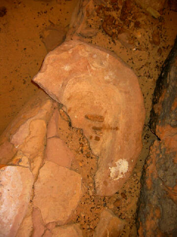
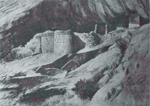
The Monarch Cave Ruins contain an inscription from the Illustrated America Exploring Expedition of 1892. Warren K. Moorehead was appointed as leader of the Illustrated America Exploring Expedition to explore, survey, map, photograph, and secure specimens in southeastern Utah. Although the Illustrated America Exploring Expedition collection of artifacts was very small, Moorehead and members of his expedition wrote enthusiastically and romantically about their adventures and discoveries in a series of articles for American Illustrated Magazine. Their descriptions of alcoves and ruins in Butler Wash are memorable. Below is a sketch made by a member of the 1892 Illustrated America Exploring Expedition of Monarch Cave Ruins. It's interesting to note the ruins appear to remain in about the same conditions as when they were first discovered.
Discovery :Here is what the 1892 Illustrated America Exploring Expedition wrote about the discovery of Monarch Cave. After Mr. Moorehead left us,
in one of the deep canyons, about two miles south of Eagle Nest Cave, we discovered one of
the most picturesque series of ruins that we had yet seen. It is situated in a beautiful
box canyon in the rocky divide between Butler's Wash and Comb Wash, about nine miles south
[Note: South is a direct quote, the correct direction is North.] of the Rio San Juan. The
canyon is bout half a mile in length, but what a contrast it affords to the monotonous and
bare mesa and valleys outside! here instead of of stunted sage-brush, we find a luxurious
growth of large, wide-spreading cottonwood tress, giving delightful shade from the hot
sun; and beautiful shrubbery and flowering plants, and cool running water. One can
appreciate the great difference only after traveling all day on the dry and sandy mesa,
where not a drop of water is to be found, and then entering one of these little side
canyons, which seem like paradise on earth. One of the large cottonwood trees measured
fifteen feet around the base - a wonderful growth for this locality. [ Homepage ] [ Introduction ] [ Warning ] [ Ratings ] [ Ethics ] [ Feedback ] [ Updates ] © Copyright 2000-, Shane Burrows |
